Mainstreaming Disaster Risk Reduction into Land Use Planning in Quezon City
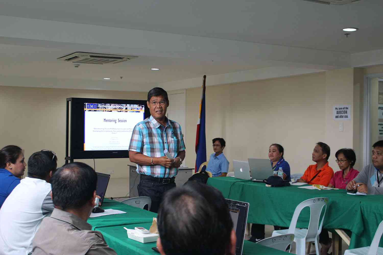
The project aims to enhance the competencies of the Quezon City Technical Working Group by conducting Risk-Sensitive Land Use Planning training and mentoring sessions to build on the previous collaboration with the QC government on the development of their Disaster Risk Reduction and Management Plan
Description
The mission of Earthquakes and Megacities Initiative (EMI) is to advance knowledge, policy, and practice of urban disaster risk reduction, particularly focusing on megacities and fast-growing metropolises. It is anchored on the concept of mainstreaming wherein stakeholders are engaged in a participatory process that allows collaboration, ownership, and development of capacities of the stakeholders. EMI has been dedicated to shaping the global agenda and practice of urban resilience in some of the most complex cities in the world.
The efforts of experts and staff in Geographic Information System (GIS) and remote sensing, urban resilience policy, and knowledge development and dissemination has allowed the successful implementation of the project to conduct training that focus more specifically on the applications of hazard, vulnerability, and risk assessment (HVRA) to risk-sensitive land use planning (RSLUP).
Results of our commitment include identification of hotspots (using hazard overlay mapping), integrating DRR-CCA assessments into land use plans, and visualization of hazards as well as vulnerability.
Did the Sendai Framework change or contribute to changes in your activities/organization? If so, how?
The adoption of the Sendai Framework for Disaster Risk Reduction has facilitated the alignment of outcomes of the existing projects of EMI under the Priorities for Action and Targets established by frameworking, allowing for more tangible, measurable, and results-oriented objectives and activities.
In supporting local governments, EMI has promoted the mainstreaming of science-based disaster risk reduction (DRR) within the functions of its partner cities through the use of participatory approaches and knowledge sharing activities such as city-to-city learning exchanges.
What led you to make this commitment/initiative?
What was your position before making this Voluntary Commitment / prior to the Sendai Framework?
Beginning in 1998, the mission of EMI has always been aligned to address the need of urban populations to reduce their exposure and vulnerabilities to disasters, that claim numerous lives and inflict large damages to property. At that time, the advent of the Hyogo Framework in 2005 spurred EMI’s relevance as it aligned its objectives with the framework’s goals to reduce disaster risk from natural hazards.
At present, with the transition to the Sendai Framework for action in 2015, EMI is wholly committed towards its role as champion and advocate to increase capacities of local governments to safeguard its citizens against damages brought about by typhoons, earthquakes, landslides, and other hazards. As a scientific, non-profit organization it is currently working on participatory, inclusive, and mainstreaming projects to further the cause of disaster risk reduction and resilience among urban communities.
Deliverables and Progress report
Deliverables
Deliverables are the end-products of the initiative/commitment, which can include issuance of publications or knowledge products, outcomes of workshops, training programs, videos, links, photographs, etc.
The module is intended to support capacity building for
mainstreaming DRR in RSLUP. It is composed of a lecture on Hotspots and Land Use Planning, Urban Disaster Risk Index (UDRI) and a GIS working exercise on Identifying the flood hotspot areas in Quezon City using the Urban Disaster Risk Index, and understanding the condition of these barangays with respect to their risks.
The module is intended to support capacity building for
mainstreaming DRR in RSLUP. Through it, participants’ will improve their basic understanding of risk-sensitive land use planning (RSLUP) processes, including methods for mainstreaming climate change adaptation and disaster risk reduction (CCA-DRR) strategies as identified in the HLURB’s “Supplemental Guidelines on Mainstreaming CCA-DRR into the CLUP Process.” it is composed of a recap on lecture on Hotspots and Land Use Planning and exercises on setting the vision and formulating risk-sensitive zoning ordinances.
The module is intended to support capacity building for
mainstreaming DRR in RSLUP. The module is composed of lectures on HVRA and its use in Planning, Climate Change Hazards and Impacts, and GIS Basic Tools and Applications in Comprehensive Land Use Plan (CLUP), including working exercises in GIS on Analyzing the Maps: Identifying and Visualizing Hazards and Exposures to Different Development Sectors.
Organizations and focal points
Implementing Organization(s)
Focal points
