Early Warning Project in Myanmar
Extreme weather events have had disastrous effects on quality of life and food production in Myanmar. Early Warning Systems are vital to provide decision aid to communities, improve agriculture and fishing practice, increase food security and protect the population.
Description
Myanmar was placed as the 12th most disaster-prone country in 2018 after the tsunami in 2004, the catastrophic cyclones of 2006 and 2008. In a country where agriculture and fishing account for 38% of the GDP and employ 70% of the working population, weather conditions are vital for personal and professional security. Yet, the national response capacity was overwhelmed by the changing weather patterns and extreme weather events.
UNOPS implemented a project to build Myanmar's resilience by improving its Early Warning capabilities. The aim was to create an efficient and sustainable weather service that delivers Warnings ahead of time, contributing to Target G of the Sendai Framework.
The private sector company, COROBOR Systems, provided a solution to supply effective warnings that can be used and received by both experts and the public. Firstly, a web-platform was installed at the Department of Meteorology to combine data from weather, water-level and agro-met stations. This allows experts to make accurate forecasts for current and future conditions.
To ensure that the information reaches the population, communication systems were designed that are easy-to-read and easily accessible. On the web-platform, a dashboard containing a colour scale system is used to visually communicate risks - starting at red for high risk until green for low. If a threat of a hazard is high, an alert is triggered and a message is delivered directly to the users device (phone, computer). In a country where wired internet connectivity is not developed but mobile data is common - the information can be sent through the simplest format: SMS notification.
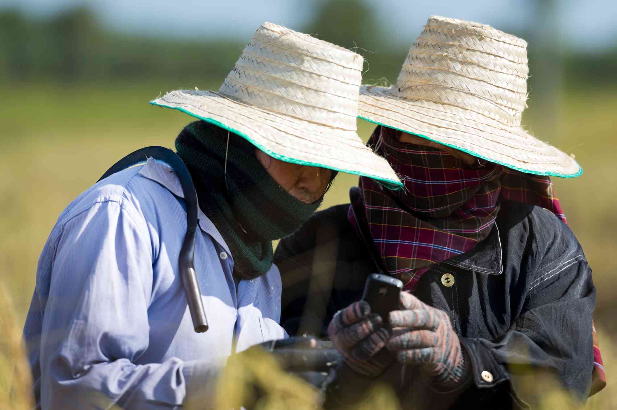
As a result, communities now have time to prepare and protect in advance of incoming hazards. Moreover, farmers and fishermen can consult the dashboard, see the risks and adopt strategies accordingly - such as herd migration and fishing location. This adaption improves food security and income, supporting the country's overall economy.
The aim of the initiative was to ensure inclusion. Early Warning systems must be understood and accessible in order to be effective. In this case, the same technology can be used across sectors, one platform for meteorologists and farmers alike.
Did the Sendai Framework change or contribute to changes in your activities/organization? If so, how?
We find additional support to our activities in the call by the Sendai Framework to strengthen disaster risk governance and coordination across relevant institutions while also enhancing multi-hazard early warning systems. In particular, it underlines the need for developing as well as investing in simple, people-centred and low-cost early warning equipment and facilities. Furthermore, the Sendai Framework also supports private investment into measures that are ‘cost-effective and instrumental to save lives, prevent and reduce losses and ensure effective recovery and rehabilitation.’
What led you to make this commitment/initiative?
What was your position before making this Voluntary Commitment / prior to the Sendai Framework?
There is a growing need for modern infrastructure and systems around the world, particularly in developing countries where there is high levels of vulnerability to disasters and low levels of capacity. As a response - Private Sector companies like COROBOR Systems are there to create innovative solutions that bridge the gap between the technology and experts that understand it and the communities and individuals who need it.
Deliverables and Progress report
Deliverables
Deliverables are the end-products of the initiative/commitment, which can include issuance of publications or knowledge products, outcomes of workshops, training programs, videos, links, photographs, etc.
Installation of state-of-the-art equipment around the country (weather stations) and a software system at the Department of Meteorology. Data from the stations is collected and combined by experts and then communicated to the population.
Organizations and focal points
Implementing Organization(s)
Focal points
